
Change Detection – Now Available on UP42
Unlocking the Power of Change Detection — Now on UP42 At Simularity, we believe in transforming satellite and aerial imagery into actionable insight. That’s why
Anomaly Detection of SAR Imagery
Simularity has successfully detected anomalies using SAR imagery. But first, let’s review what SAR imagery is: Synthetic Aperture Radar (SAR) is a type of radar
Using SAR for Environmental Change Detection
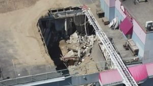
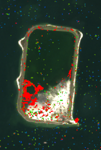
On July 14, 2022, a rooftop parking deck in Vancouver, BC collapsed, killing one person who was working in the business below. Here is the
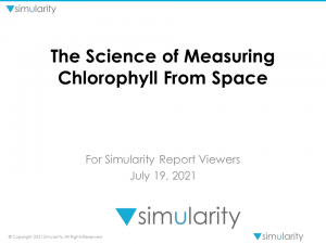
Correlated: Cholorophyll Measurements from Space vs On Site Sampling
In collaboration with the Simularity Foundation, a non-profit focusing on using technology and remote sensing data to monitor the planet, a new report has been
New: SAR-based Temporal Change Detection Reveals Important Changes Worldwide
How To Detect Changes From Space… Even When There Are Clouds NASA has collected data from several geostationary and polar orbiting satellites. that show the average

WhyOfThere: “5 Ways Earth Observation Downstream & AI are Democratizing GEOINT”
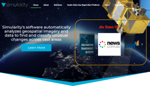
Simularity, our core product AIADS, and our recently launched South China Sea Rapid Alert Platform were mentioned in this excellent article by wyofthere.com, a popular
AI Discovers Changes – Gets International News Coverage
Our recent report outlining how our AI discovered new construction on Mischief Reef has gotten notice from the Press. In the last week we have
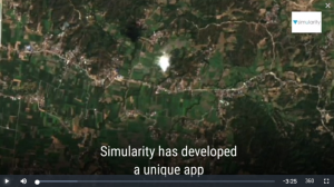
Video Demo of GeoSpatial App for Governments
Our demo geospatial app for governments announced recently now has an “explainer” video produced for it. Here is a link to the video and it’s