Satellite

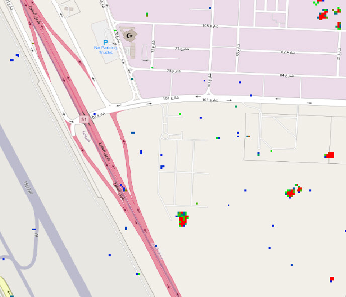
Image showing SAR anomaly in Kuwait City

Anomaly Detection of SAR Imagery

Simularity has successfully detected anomalies using SAR imagery.  But first, let’s review what SAR imagery is: Synthetic Aperture Radar (SAR) is a type of radar that uses advanced signal processing techniques to create high-resolution images of the earth’s surface from airborne or spaceborne platforms. Some of the benefits of SAR technology include: All-weather capability: SAR …

Anomaly Detection of SAR Imagery Read More »

GeoSpatial World Cover Story with Simularity: “Earth Observation: The Growth Story”

Thanks to GeoSpatial World for including us in their major cover story here. The growth is incredible! “The evolution of technologies like GIS, Image Processing, and PNT has enhanced the quality of imagery analysis to provide value-added digital services to diverse fields of applications. However, issues concerning cost, transparency, and trust continue to pose a …

GeoSpatial World Cover Story with Simularity: “Earth Observation: The Growth Story” Read More »