Simularity blog
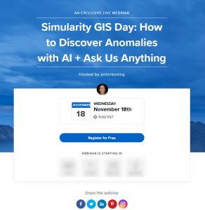
Replay Available: GIS Day Presentation (32 Minutes)
The replay of our GIS Day presentation is now available. Topics included: How we Detect Anomalies using AI: Deforestation Case Study San Francisco Airport Covid-19
Simularity CEO To Speak At Pilipinas Conference 2020
“Philippines and the Indo-Pacific: Responding to the Emerging Regional Political-Security Environment” 25 November 2020 (Wednesday) | 8:30 AM – 12:20 PM Philippine Time Featuring

Simularity CEO to Speak At The Business For Environmentally Sustainable Transformation Virtual Conference November 5
The BEST Conference discusses how businesses and organizations can use technology to improve the delivery and messaging of their products and services, and with those
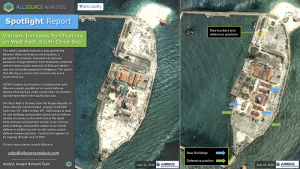
Simularity and AllSource Partner To Offer Vast Area Monitoring With Precision Geospatial Intelligence
Simularity, a Geospatial AI company, and AllSource Analysis, a provider of geospatial intelligence, have established a new partnership to combine Simularity’s automated vast area monitoring
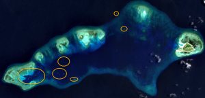
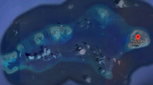
Significant Increase in Foreign Ships Gathering Near Pag-asa (Thitu) Island Revealed By New South China Sea Alert Service
Simularity Launches Free South China Sea Monitoring Service October 28, 2020. Tampa, Florida: Simularity, a Geospatial AI company, has launched a new free service that

Simularity and Mothership Aeronautics Partner To Offer Persistent Change Detection In Unprecedented Spatial Resolution
Aerial Data Collection By Mothership Aeronautics Solves Cadence, Resolution, and Cloud Cover Issues That Hamper Satellite-Derived Imagery Analysis October 27 , 2020 – 1:05pm Eastern
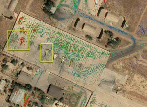
Join Us on GIS Day – Nov 18, 2020
Simularity is teaming up with Esri to celebrate GIS Day on November 18, 2020. See some cool discoveries we’ve made with our AI Anomaly Detection
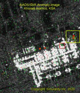
Using Free Low Resolution SAR and Optical Imagery To Detect Destruction
In this blog post we’ll demonstrate how relatively low cost and low resolution SAR imagery can help governments and other organizations monitor wide areas so
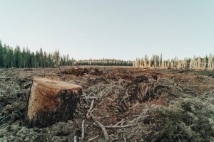
New Earth Day UP42 Post Reveals Deforestation in Romania
In co-operation with UP42 we published this overview on how you can use satellite imagery + analytical AI software to detect deforestation in Romania… or

