Video Demo of GeoSpatial App for Governments
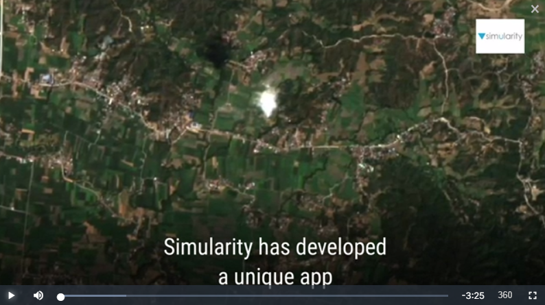
Our demo geospatial app for governments announced recently now has an “explainer” video produced for it. Here is a link to the video and it’s also embedded below. Questions? Contact us here.
Our demo geospatial app for governments announced recently now has an “explainer” video produced for it. Here is a link to the video and it’s also embedded below. Questions? Contact us here.
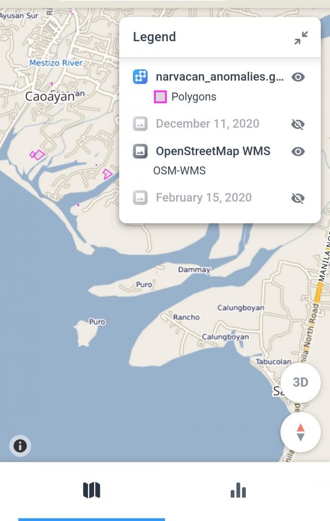
Although local governments face many challenges that can be met with timely geospatial intelligence, the ability to afford such analysis and insights has been out of reach for most. Simularity’s automated geospatial analysis software, combined with free satellite imagery, can help municipal and state governments get the answers they need at a price they can …
New App Provides Geospatial Answers for Local Governments Read More »

Aerial Data Collection By Mothership Aeronautics Solves Cadence, Resolution, and Cloud Cover Issues That Hamper Satellite-Derived Imagery Analysis October 27 , 2020 – 1:05pm Eastern Time TAMPA, Florida – Simularity, a Geospatial AI company, and Mothership Aeronautics, a provider of aerial data collection products and services, have established a partnership that combines Simularity’s automated persistent …