August 6, 2021
Correlated: Cholorophyll Measurements from Space vs On Site Sampling
In collaboration with the Simularity Foundation, a non-profit focusing on using technology and remote sensing data to monitor the planet, a new…

August 6, 2021
In collaboration with the Simularity Foundation, a non-profit focusing on using technology and remote sensing data to monitor the planet, a new…
July 20, 2021
February 8, 2021
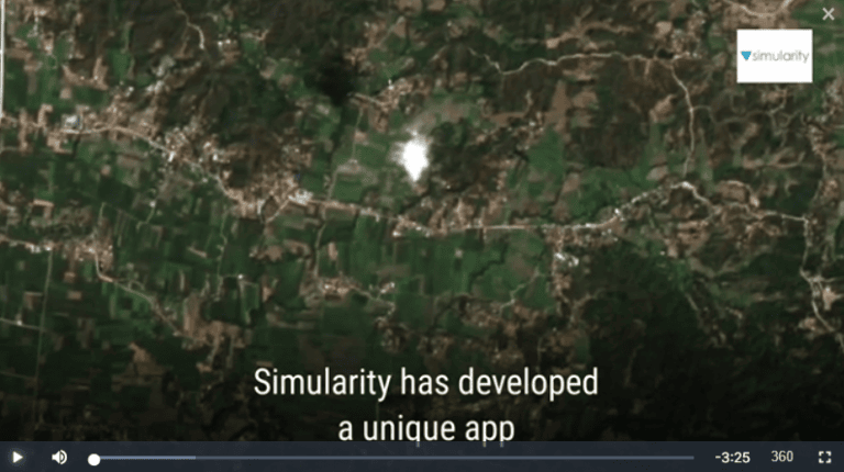
Our demo geospatial app for governments announced recently now has an “explainer” video produced for it. Here is a link to the video and it’s also…
October 28, 2020
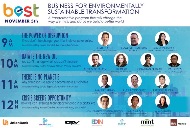
The BEST Conference discusses how businesses and organizations can use technology to improve the delivery and messaging of their products and…
April 22, 2020
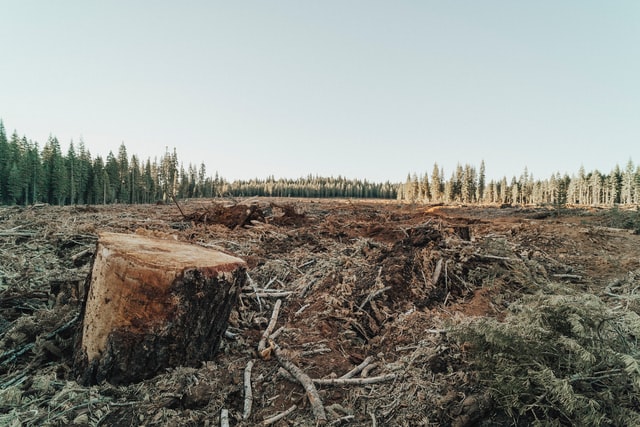
In co-operation with UP42 we published this overview on how you can use satellite imagery + analytical AI software to detect deforestation in…
July 29, 2019
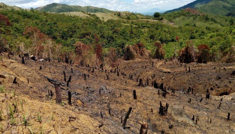
Almost 18 million people rely on the Angat-Umiray-Ipo Watershed, which supplies 98% of the water that goes to Metro Manila, Philippines. According to…