Discovery

Correlated: Cholorophyll Measurements from Space vs On Site Sampling

In collaboration with the Simularity Foundation, a non-profit focusing on using technology and remote sensing data to monitor the planet, a new report has been released that reveals an interesting correlation… Read the report details here and Contact the Foundation, Donate, and Sign up to the Foundation’s mailing list for alerts on future reports.

AI Discovers Changes – Gets International News Coverage

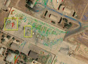
Our recent report outlining how our AI discovered new construction on Mischief Reef has gotten notice from the Press. In the last week we have been inundated with requests for our report (the pdf has higher resolution) as well as previous reports.  As a result we have created an “In the Press” page here and …

AI Discovers Changes – Gets International News Coverage Read More »

New App Provides Geospatial Answers for Local Governments

Although local governments face many challenges that can be met with timely geospatial intelligence, the ability to afford such analysis and insights has been out of reach for most. Simularity’s automated geospatial analysis software, combined with free satellite imagery, can help municipal and state governments get the answers they need at a price they can …

New App Provides Geospatial Answers for Local Governments Read More »

Join Us on GIS Day – Nov 18, 2020

Simularity is teaming up with Esri to celebrate GIS Day on November 18, 2020. See some cool discoveries we’ve made with our AI Anomaly Detection software, ask us anything, and have a chance to win a prize valued at $100. See below for details. #GISDay has events happening around the world – some physical and …

Join Us on GIS Day – Nov 18, 2020 Read More »

New Earth Day UP42 Post Reveals Deforestation in Romania

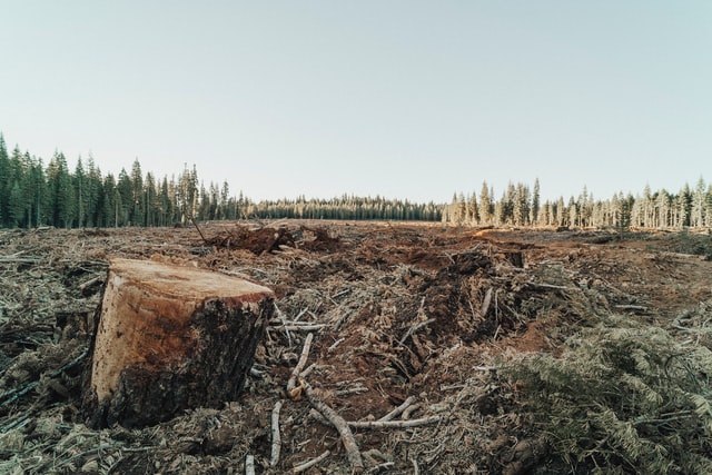
In co-operation with UP42 we published this overview on how you can use satellite imagery + analytical AI software to detect deforestation in Romania… or anywhere on Earth for that matter. The idea for the step-by-step post started thanks to this article from OBC TransEuropa entitled Timber Mafia and Deforestation in Romania, which mentions: “With …

New Earth Day UP42 Post Reveals Deforestation in Romania Read More »

Using AI+SAR+Optical To Find The Invisible

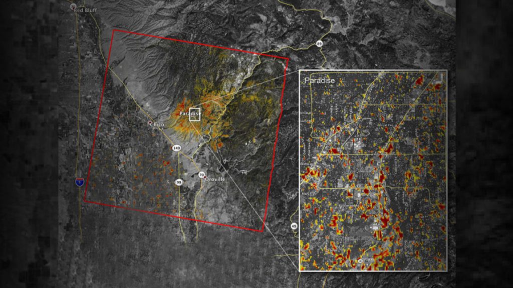
Shining A Light On Illicit Activities Trying to hide your illicit activities by doing them at night? Not any more – AI+SAR+Optical  can be trained to track activity at night. Trying to hide your illicit activities under the canopy of trees?  Not any more. AI+SAR+Optical can be trained to see the texture and health of …

Using AI+SAR+Optical To Find The Invisible Read More »

Satellite Image Analysis Is Expanding: 3 Indicators

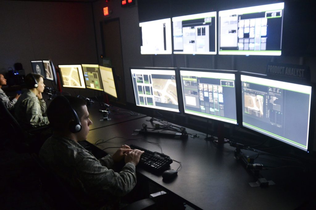
Analysis of satellite images is nothing new. Governments have used it to monitor other countries for decades. Hedge funds started to innovate by using satellite imagery to count cars in company parking lots to predict sales 15 years ago. But until recently, from a technology perspective, limited imagery, and the highly manual process of image …

Satellite Image Analysis Is Expanding: 3 Indicators Read More »