Video Demo of GeoSpatial App for Governments
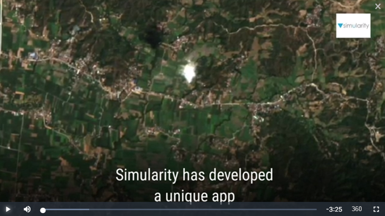
Our demo geospatial app for governments announced recently now has an “explainer” video produced for it. Here is a link to the video and it’s also embedded below. Questions? Contact us here.
Our demo geospatial app for governments announced recently now has an “explainer” video produced for it. Here is a link to the video and it’s also embedded below. Questions? Contact us here.
Analysis of satellite images is nothing new. Governments have used it to monitor other countries for decades. Hedge funds started to innovate by using satellite imagery to count cars in company parking lots to predict sales 15 years ago. But until recently, from a technology perspective, limited imagery, and the highly manual process of image …
Satellite Image Analysis Is Expanding: 3 Indicators Read More »
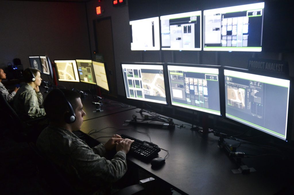
KQED’s Tara Siler reports on Simularity’s Automated Image Anomaly Detection System (AI-ADS) as part of Simularity’s proposal for an Intelligent Virtual Border Wall. Using 10,000 year old technology (physical walls) is an ineffective way to protect borders or expensive remote assets. The smart and more effective solution is to use the latest technology to identify …