featured

Satellite Image Analysis Is Expanding: 3 Indicators

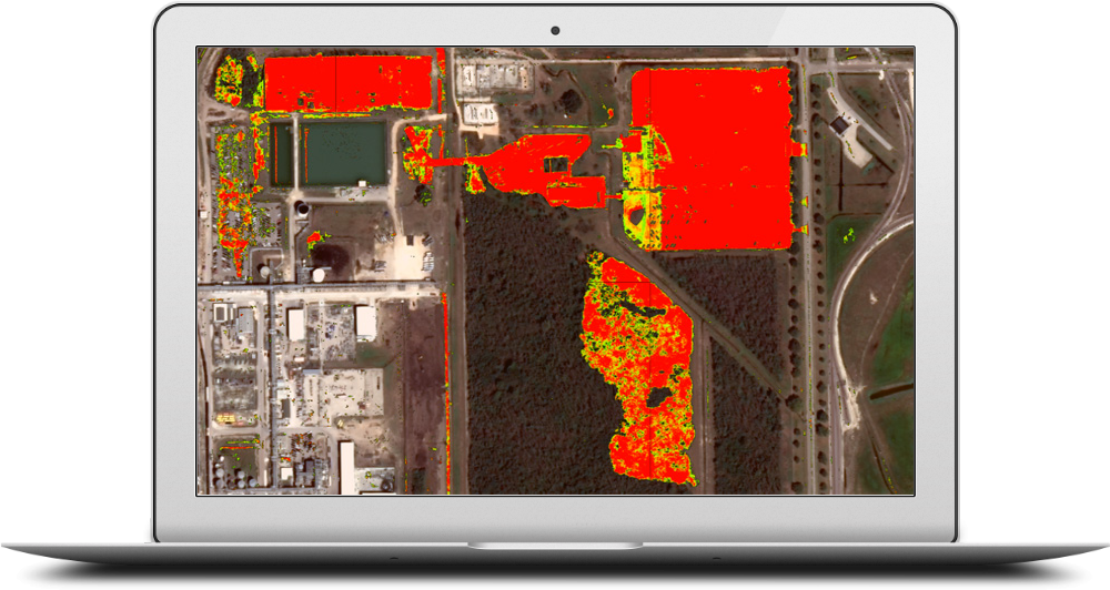
Analysis of satellite images is nothing new. Governments have used it to monitor other countries for decades. Hedge funds started to innovate by using satellite imagery to count cars in company parking lots to predict sales 15 years ago. But until recently, from a technology perspective, limited imagery, and the highly manual process of image …

Satellite Image Analysis Is Expanding: 3 Indicators Read More »

Military Facilities On Mischief Reef

It’s no secret that China is building massive military facilities on former reefs known as the Spratly Islands. But what exactly are they doing, and at what pace? Using Simularity’s Automatic Image Anomaly Detection System (AIADS), we can analyze a candidate image against a set of historical images, as the AI can learn from the …

Military Facilities On Mischief Reef Read More »

Simularity and Geospatial Enabling Technologies (GET) Sign Partnership MOU

  Simularity has joined forces with Athens-based GeoSpatial Enabling Technologies (www.GetMap.eu), to market Simularity’s Automated Image Anomaly Detection System in the Greek and Australian markets.    “We have  evaluated Simularity’s AIADS, and I believe it gives us an edge in making our analysis services more efficient,” said Gabriel Mavrellis, CEO, GET. “Government agencies and other Greek customers of ours are …

Simularity and Geospatial Enabling Technologies (GET) Sign Partnership MOU Read More »

Municipalities: How to Rapidly Detect (And Tax) Illegal Construction

Our global population is ballooning, and so are our cities. Driven by urbanization, illegal construction is becoming increasingly prolific and profitable. Most illegal construction stems from homelessness, with many urban areas in developing countries hosting enormous slums that lack essential services and infrastructure. Some individuals look instead to profit from illegal construction, by having their …

Municipalities: How to Rapidly Detect (And Tax) Illegal Construction Read More »

North Korea Nuclear Activity Confirmed

An excellent article regarding the activity at the North Korean Yongbyon  nuclear complex, was published March 27, 2018 by the New York Times. The key point of the article was that through detailed and painstaking analysis of satellite imagery over the area, the analysts conclude that the North Koreans have built and begun operations of a …

North Korea Nuclear Activity Confirmed Read More »

Satellite Image Anomaly Detection for Defense and Security (Pics)

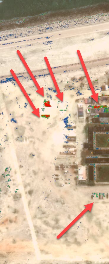
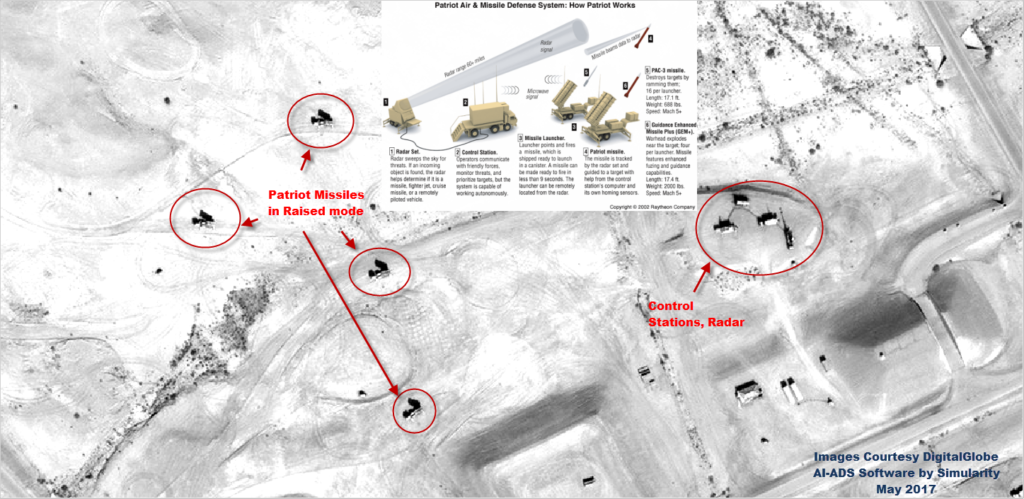
We’ve been busy running our Automated Image Anomaly Detection System (AI-ADS) on imagery where we think there might be interesting discoveries. Here’s some examples of defense/security related anomalies which our AI has recently revealed in Riyadh, Saudi Arabia and also near the Oman/Yemen border: Patriot Missiles on standby near RUH (Riyadh International Airport) – an installation …

Satellite Image Anomaly Detection for Defense and Security (Pics) Read More »