April 22, 2020
New Earth Day UP42 Post Reveals Deforestation in Romania
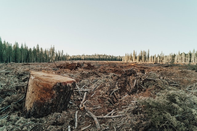
In co-operation with UP42 we published this overview on how you can use satellite imagery + analytical AI software to detect deforestation in…

April 22, 2020
In co-operation with UP42 we published this overview on how you can use satellite imagery + analytical AI software to detect deforestation in…
October 3, 2019
Co-Registration Now Available – At Pixel Level Change detection algorithms are quite noisy, because they detect ALL the changes between 2 images…
May 14, 2019
On May 6, 2019 we attended the launch event for UP42, an exciting new startup that promises to enable more users to take advantage of the growing…
June 8, 2018
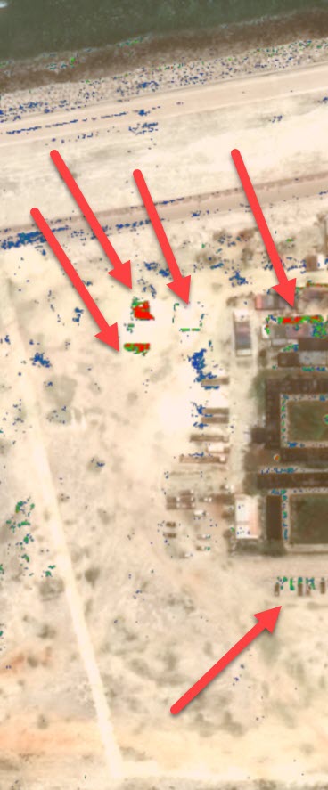
It’s no secret that China is building massive military facilities on former reefs known as the Spratly Islands. But what exactly are they doing, and…
April 15, 2018
Congrats to the team and special thanks to Kartik Shah, our Product Manager, for being selected as a finalist in the pitch competition at the Silicon…
January 23, 2017
Automated anomaly detection in daily satellite images delivers timely alerts for monitoring remote locations Today we announced this partnership with…