Satellites

Using AI+SAR+Optical To Find The Invisible

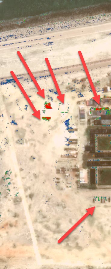
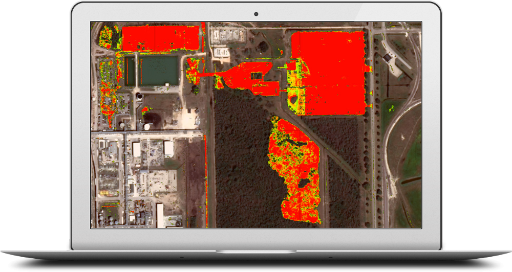
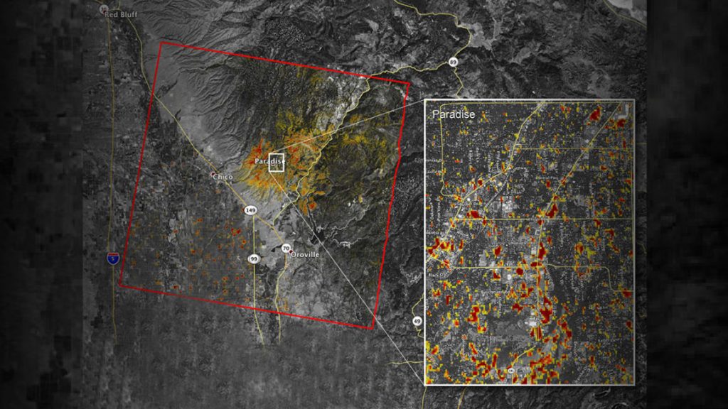
Shining A Light On Illicit Activities Trying to hide your illicit activities by doing them at night? Not any more – AI+SAR+Optical  can be trained to track activity at night. Trying to hide your illicit activities under the canopy of trees?  Not any more. AI+SAR+Optical can be trained to see the texture and health of …

Using AI+SAR+Optical To Find The Invisible Read More »

Satellite Image Analysis Is Expanding: 3 Indicators

Analysis of satellite images is nothing new. Governments have used it to monitor other countries for decades. Hedge funds started to innovate by using satellite imagery to count cars in company parking lots to predict sales 15 years ago. But until recently, from a technology perspective, limited imagery, and the highly manual process of image …

Satellite Image Analysis Is Expanding: 3 Indicators Read More »

Military Facilities On Mischief Reef

It’s no secret that China is building massive military facilities on former reefs known as the Spratly Islands. But what exactly are they doing, and at what pace? Using Simularity’s Automatic Image Anomaly Detection System (AIADS), we can analyze a candidate image against a set of historical images, as the AI can learn from the …

Military Facilities On Mischief Reef Read More »

Simularity Selected As Finalist For The 2nd Shenzhen Innovation & Entrepreneurship International Competition

Congrats to the team and special thanks to Kartik Shah, our Product Manager, for being selected as a finalist in the pitch competition at the Silicon Valley Innovation & Entrepreneurship Forum Pitch event for 2018, held at the Santa Clara Convention Center on March 30, 2018. Here’s a picture of our happy Kartik, with our prize. Simularity …

Simularity Selected As Finalist For The 2nd Shenzhen Innovation & Entrepreneurship International Competition Read More »

North Korea Nuclear Activity Confirmed

An excellent article regarding the activity at the North Korean Yongbyon  nuclear complex, was published March 27, 2018 by the New York Times. The key point of the article was that through detailed and painstaking analysis of satellite imagery over the area, the analysts conclude that the North Koreans have built and begun operations of a …

North Korea Nuclear Activity Confirmed Read More »

Wanted: 8 Million Image Analysts

The challenge with the explosive growth of satellite and drone image data, is that there just aren’t enough analysts to scrutinize the images to find what they’re looking for. In fact this recent quote from NGA Director Robert Cardillo said, “If we attempted to manually exploit the expected satellite imagery that we will receive over …

Wanted: 8 Million Image Analysts Read More »