Imagery

New App Provides Geospatial Answers for Local Governments

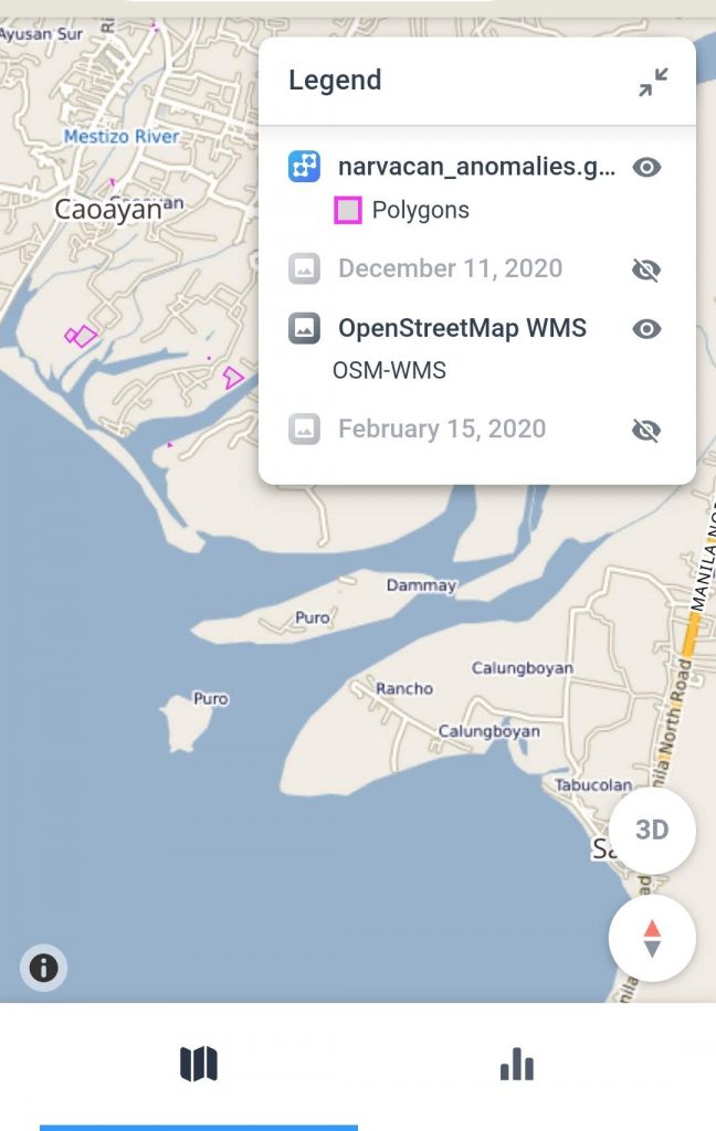
Although local governments face many challenges that can be met with timely geospatial intelligence, the ability to afford such analysis and insights has been out of reach for most. Simularity’s automated geospatial analysis software, combined with free satellite imagery, can help municipal and state governments get the answers they need at a price they can …

New App Provides Geospatial Answers for Local Governments Read More »

Changes To Vietnam Spratly Islands 2020

A higher resolution pdf version of this report is available to our subscribers. Subscribe for free below. Subscribe Today To receive alerts when we have new reports available, please click the button below. The service is free. You can unsubscribe at any time.  Sign Up For Free

Large Vessel Activity at Naval Base in Hainan China

AllSource Analysis has recently published their latest “Spotlight” regarding activity on a Naval Base in Hainan, China. A snippet of their report revealed: “Analysis of GEOINT from 7 November to 29 December 2020 reveals that two of the newest capital vessels of the People’s Liberation Army Navy (PLA(N)) have been deployed to the South Sea …

Large Vessel Activity at Naval Base in Hainan China Read More »

Simularity and Mothership Aeronautics Partner To Offer Persistent Change Detection In Unprecedented Spatial Resolution

Aerial Data Collection By Mothership Aeronautics Solves Cadence, Resolution, and Cloud Cover Issues That Hamper Satellite-Derived Imagery Analysis October 27 , 2020 – 1:05pm Eastern Time TAMPA, Florida – Simularity, a Geospatial AI company, and Mothership Aeronautics, a provider of aerial data collection products and services, have established a partnership that combines Simularity’s automated persistent …

Simularity and Mothership Aeronautics Partner To Offer Persistent Change Detection In Unprecedented Spatial Resolution Read More »

Join Us on GIS Day – Nov 18, 2020

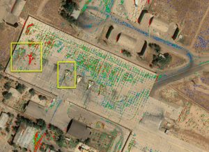
Simularity is teaming up with Esri to celebrate GIS Day on November 18, 2020. See some cool discoveries we’ve made with our AI Anomaly Detection software, ask us anything, and have a chance to win a prize valued at $100. See below for details. #GISDay has events happening around the world – some physical and …

Join Us on GIS Day – Nov 18, 2020 Read More »

Using Free Low Resolution SAR and Optical Imagery To Detect Destruction

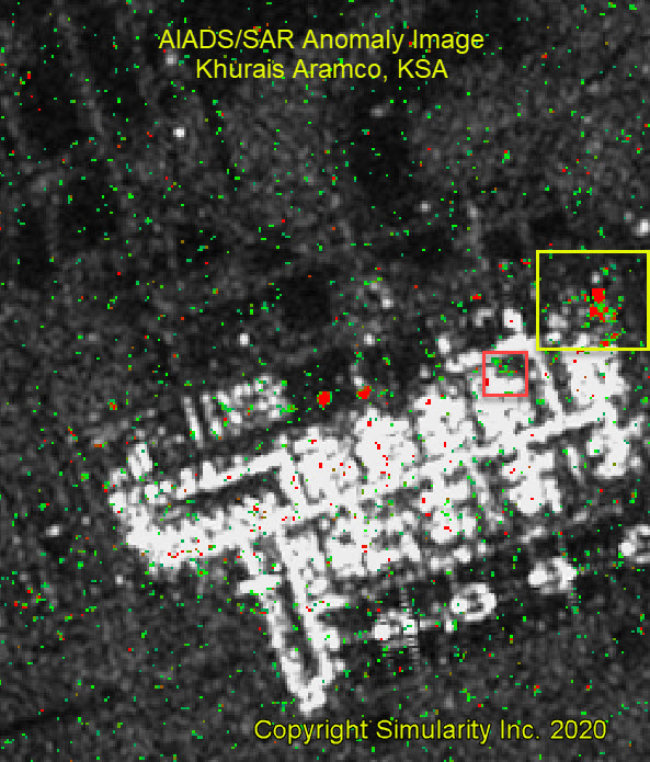
In this blog post we’ll demonstrate how relatively low cost and low resolution SAR imagery can help governments and other organizations monitor wide areas so that they can be alerted to significant events. On September 14, 2019, at approximately 4am local time in Eastern Saudi Arabia, a group of precise drone strikes attacked these oil …

Using Free Low Resolution SAR and Optical Imagery To Detect Destruction Read More »

New Earth Day UP42 Post Reveals Deforestation in Romania

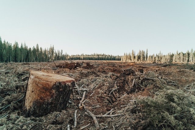
In co-operation with UP42 we published this overview on how you can use satellite imagery + analytical AI software to detect deforestation in Romania… or anywhere on Earth for that matter. The idea for the step-by-step post started thanks to this article from OBC TransEuropa entitled Timber Mafia and Deforestation in Romania, which mentions: “With …

New Earth Day UP42 Post Reveals Deforestation in Romania Read More »

Can AI and Satellite Imagery Detect the End of Covid-19?

Many states in the US are under “shelter in place” guidelines and as a result, most businesses are closed. The most talked about economic topic on most financial networks is will we see a V, U or L shape recovery when the shelter in place guidelines are lifted? No clear consensus has emerged yet because …

Can AI and Satellite Imagery Detect the End of Covid-19? Read More »